<< Back to Map Development Forum   Search

Posts 1 - 11 of 11   
Creating a big map or thinking about it? Read it.: 8/30/2012 18:28:19


Issander
Level 55
Report
Just lately many big maps were being made, I was making one too. I've experienced problems with SVG file size cap, as a few others map builders. This is really annoying - do a lot of work, just to realize that after 80% of map done you have to redo it or decrease its quality. And not to mention that if you're using polygonal chains, not curves, to draw territories, then simplify tool won't help you.

Fizzer suggested using SVG file optimizer. There is actually one named scour built into new versions of inkscape, so I've tried it. At first it was great - 25.2% size drop after using it. But. The file was unloadable. I've been receiving the message that the file has some parameters in other units than px and warlight accepts only px. Then I've did it again but un-checked all the possible options (guessing that one of them is responsible for that). The result was loadable, decreased in size file... But again, it looks like that:

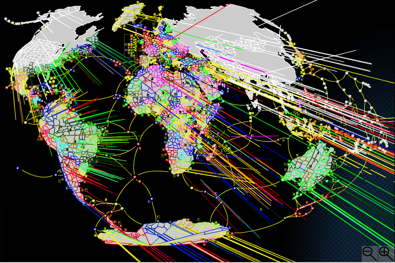
http://WarLight.net/SinglePlayer.aspx?PreviewMap=15102

Well, you can say that my map turned into porcupine. But I wouldn't be writing it if I haven't found the solution, wouldn't I? It is even simpler, and it was always there. You just have to "save as" pure SVG file. I'm not sure if it's named exactly like that, because I have polish language version of Inkscape. It's the second option just below "save as" Inkscape SVG.

Size drop is 18.8% in my case. Thats not 25.2%, but hey, that's still pretty much for something just as effortless as that... and it's completely safe for the file - I've checked it. No porcupine here.

Keep this up and post here any other effective, fast and safe methods to reduce your file size if you find any. Good luck in map building.
Creating a big map or thinking about it? Read it.: 8/30/2012 19:43:47


Luxis • apex 
Level 51
Report
Definately the most pimped map in WarLight.
Creating a big map or thinking about it? Read it.: 8/30/2012 22:19:32


Metaltubbie 
Level 61
Report
Well, i don't know, but for me this looks like a big mess:


Also several regional names (Germany!) are misspelled.

Apart from that map looks interesting.
Creating a big map or thinking about it? Read it.: 8/30/2012 22:30:44


Nate
Level 19
Report
What tool did you use because i have never seen this
Creating a big map or thinking about it? Read it.: 8/30/2012 23:28:58


AWESOMEGUY 
Level 63
Report
Easily the most colorful, and best map on WL today.
Creating a big map or thinking about it? Read it.: 8/31/2012 08:16:52


Issander
Level 55
Report
ROTFL, guys! Especially Metaltubbie.

How was it even possible that you thought that this... something is the real map? Or you just haven't read the text, just clicked on the link? The real map is here:

http://WarLight.net/SinglePlayer.aspx?PreviewMap=15785

And hopefully will be playable soon.

Also, if you can show any misnamed territories, write them down in this thread:

http://warlight.net/Forum/Thread.aspx?ThreadID=4161

Because the one here is not the one about map, it's about decreasing the file size so it could fit in the cap.

"What tool did you use because i have never seen this"

It's not a tool. Both options I've been talking about are possible after chosing "save as". Then you got your regular save-as-window, and inkscape allow you to chose from about 20 different file formats, among them optimized SVG and pure SVG.
Creating a big map or thinking about it? Read it.: 8/31/2012 19:58:29


Moros 
Level 50
Report
Issander, I believe I know how to fix the error you had with pixels not being pixels. I've had this problem a few times before, it happens sporadically.
First you need to select everything in Inkscape. Not just territories, really everything. Then, in the bar above, in the place where you can adjust hight and width, change the unit from px to anything else, and then back to px.
Then, go to the window I don't know the name of (probably 'file poperties', or something? I have the Dutch version. It's the window from where you can edit the map background and the size, and a bunch of other things, and you can get there from a button in the right-bottom corner). Then, where you see the hight and width of the map, and the unit to the right, also change the unit from px to something else, and back to px again.
It is not confirmed that this will work, so if you still have the file that went down 25 percent in size Issander, you could try it on that.
Creating a big map or thinking about it? Read it.: 8/31/2012 20:04:10


AppleCrumbies
Level 16
Report
This looks really good Issander.. I would gladly help test it when it's complete.

The islands look like they are on a flat map and the rest looks like part of a globe. If you are going to curve I'd make it more defined where the oceans actually are as it just looks strange with those islands not curving like the rest of the world.

(The islands east of Philippines & Papua New Guinea)

With that note I also can't see how you could curve the islands without them lookin like an even hotter hot mess.. so, how important are they to the map?

Please take this as a suggestion and opinion as it's still very beautiful and I couldn't do any better -bows bows- This is really really great! And if i'm just sounding stupid please ignore this. As this is really just a looks issue
Creating a big map or thinking about it? Read it.: 9/1/2012 10:53:54


Moros 
Level 50
Report
Okay, ignore my 'solution' over there. It didn't work. Issander's own solution did, even though it was only 11 percent.
Creating a big map or thinking about it? Read it.: 9/1/2012 14:21:36


Min34 
Level 63
Report
Issander I would look to the connections in Dakota...
Creating a big map or thinking about it? Read it.: 9/1/2012 18:58:28


Issander
Level 55
Report
I know that the islands are "outside" but that's because I moved the map, you can see that the part left from mexico is cut, and I moved that part to the right side cause I wanted all Oceania to be on one side.
Posts 1 - 11 of 11