Ancient maps are hard, they require a lot of research. What I do is normally, search places in the area of Scythia, in the modern world. Then you just look at their history, they are often newer but their are some that date back.
http://en.wikipedia.org/wiki/ScythiaWiki isn't the best reliable source, but gives a mass amount of detail on history. Its better than anything else. Just search lots of options on google images, something might come up.
E.g
http://en.wikipedia.org/wiki/Chersonesus_(Crimea)
I don't know if that's the right time period though. Other advice look at specific regions rather than just Scythia.
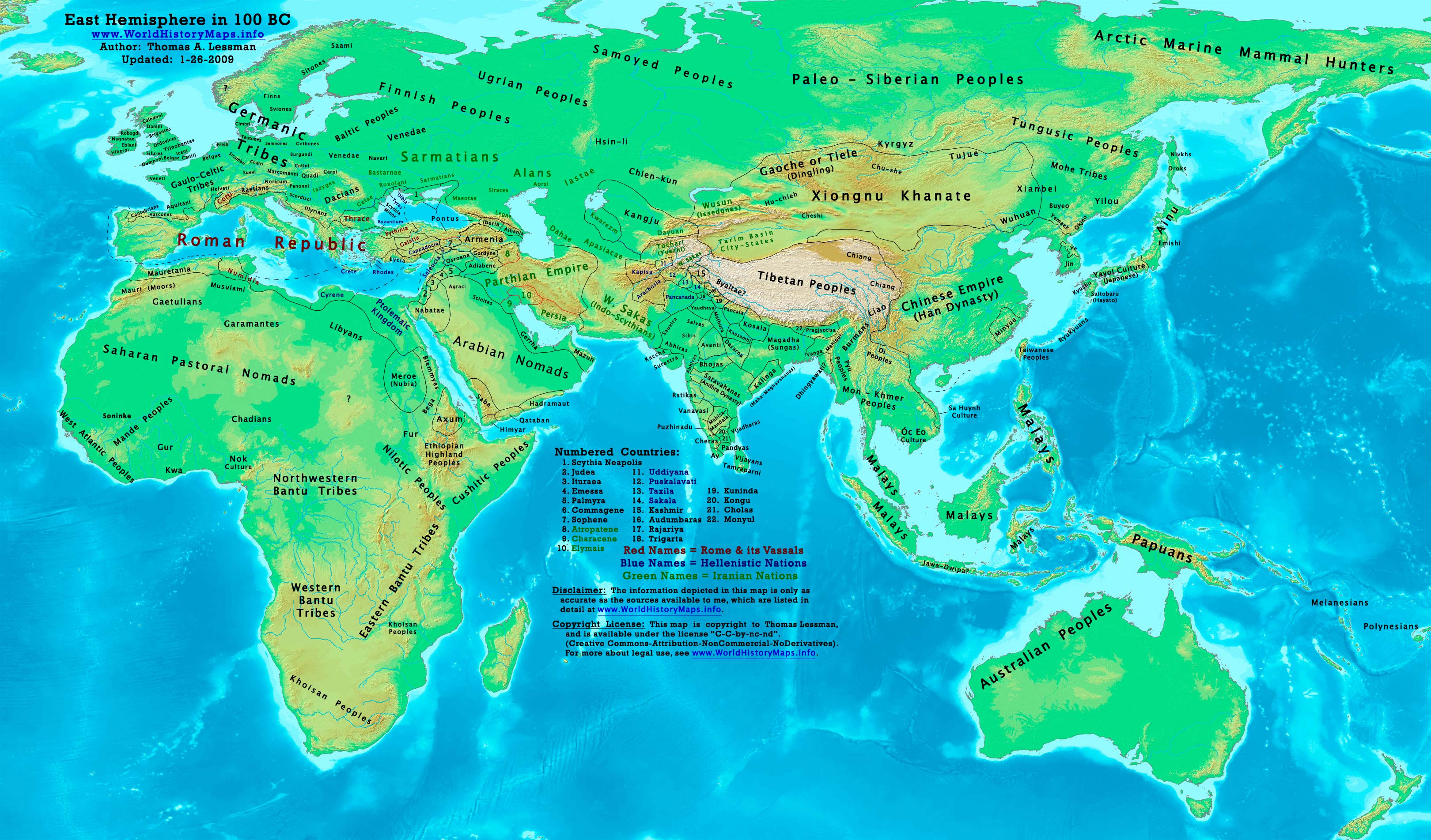
You may want to use these for large regions:
--The Pontic-Caspian steppe: Ukraine, southern Russia and western Kazakhstan (inhabited by Scythians from at least the 8th century BCE)[citation needed]
--The Kazakh steppe: northern Kazakhstan and the adjacent portions of Russia
--Sarmatia, corresponding to Ukraine and the eastern Balkans[3]
--Saka tigrakhauda, corresponding to parts of Central Asia, including Kyrgyzstan, southeastern Kazakhstan and Kashgar
--Sakastan, corresponding to southern Afghanistan and eastern Iran, extending to the Sistan Basin
--Parama Kamboja: corresponding to northern Afghanistan and parts of Tajikistan and Uzbekistan
--Scythia Minor: corresponding to the lower Danube river area west of the Black Sea, with a part in Romania and a part in Bulgaria
--The northern Caucasus area
Edited 6/5/2014 10:43:46


