Hi i am going to make a bigger version of this map,
http://warlight.net/Map?ID=251 <<<<<<<<<<<< the British Isles.
Im going to include different regions in each county.
For example: Oxforshire

^ if the picture doesn't work:
http://upload.wikimedia.org/wikipedia/commons/c/c5/OxfordshireNumbered.png
1. Oxford
2. Cherwell
3. South Oxfordshire
4. Vale of White horse
5. West Oxfordshire
This will be for every County in England, Wales, Scotland and Ireland.
Territory's in England alone would be approx 326
Im currently working out the Scotish, Irish and welsh territory's to.
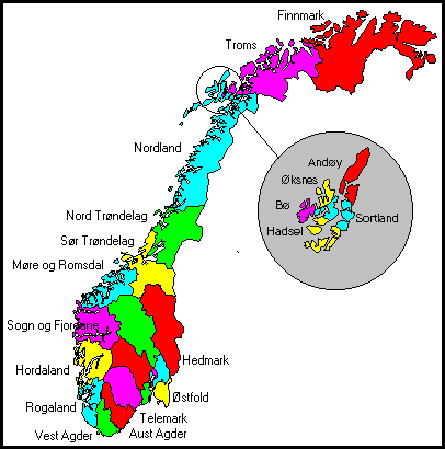
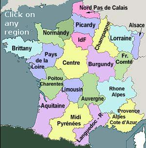
An Extra i might add on Northern France, Belgium, Nethlands, Norway and Denmark so it can be used for RP games. Also the English channel islands.
Tell me what you think and please give suggestions thankyou.


