<< Back to Map Development Forum   Search

Posts 21 - 40 of 75   <<Prev   1  2  3  4  Next >>   
Map of Croatian municipalities: 7/15/2013 09:56:07

CROivan
Level 46
Report
Osijek-Baranja:

Map of Croatian municipalities: 7/15/2013 09:56:37

CROivan
Level 46
Report
Map of Croatian municipalities: 7/15/2013 10:00:12

CROivan
Level 46
Report
Map of Croatian municipalities: 7/16/2013 11:52:30

CROivan
Level 46
Report
Sorry, municipalities are not marked there but here: http://hr.wikipedia.org/wiki/Dubrova%C4%8Dko-neretvanska_%C5%BEupanija
Map of Croatian municipalities: 7/16/2013 11:56:36

CROivan
Level 46
Report
Primorje-Goran county:
Map of Croatian municipalities: 7/20/2013 09:03:36

CROivan
Level 46
Report
Varaždin county:
Map of Croatian municipalities: 8/20/2013 14:40:08

CROivan
Level 46
Report
1. Istria County (link, if you can't read:http://www.istra-istria.hr/pic/karte/1_Opcine.gif)

2. Virovitica-Podravina County

3. Vukovar-Syrmia County

4. Dubrovnik-Neretva County (here is picture with names if letters are small for you:http://hr.wikipedia.org/wiki/Dubrova%C4%8Dko-neretvanska_%C5%BEupanija)

5. Osijek-Baranya County

6. Požega-Slavonia County

7. Bjelovar-Bilogora County

8. Zagreb Conuty

9. Varaždin County

10. Karlovac County

11. Sisak-Moslavina County

12. Brod-Posavina County

13. Međimurje County

14. Krapina-Zagorje

15. Koprivnica-Križevci County

16. Primorje-Goran County


So, are you doing this?

*If there is word grad or općina on some maps, you don't have to write
it. That means 'town' and/or 'municipality'.

Ill continue whit last 4 counties tommorow.
Map of Croatian municipalities: 8/20/2013 15:14:11


Moros 
Level 50
Report
14 and 15 are not clear enough, and a few individual municipalities on other pictures are hard to see as well, especially for someone not familiar with the Croatian way of writing (I can't even find the háček on my keyboard).
12 doesn't even show up on my screen.
And the main problem with Dubrovnik-Neretva is currently what islands belong to what municipality. Take Lastovo. There's a few small islands west of it, and I don't know if they belong to Lastovo or Vela Luka.
But I'll start drawing the territories on the mainland, I hope you can help me if I am having problems with a single municipality.
Map of Croatian municipalities: 8/20/2013 19:15:27

CROivan
Level 46
Report
17. Zadar County

*change 'Kukuljica' into 'Kukljica'
18. Šibenik-Knin County

19. Split-Damatia County

20. Lika-Senj County


Your questions:
Here are pictures of 12, 14 and 15:
12. Brod-Posavina County

14. Krapina-Zagorje County

15 Koprivnica-Križevci County


Croatian characters, alphabetically: čćđšž

Island western of Lastovo is called Sušac ad it is not habitated, but I think it belongs to Lastovo.

What do you mean by 'háček'?
Map of Croatian municipalities: 8/20/2013 19:48:16


Moros 
Level 50
Report
Haha, I thought háček was a Croatian word. It basically means the little mark above the č, š and ž. An inverted ^. The problem is that I can't find them on my keyboard, and thus I'd need to copy and paste every name that has them in it. But I think I can find the Unicode for them, so I can still type the letters, although it will be a work-around.
And there's more islands I'm not sure of. I've just finished Istria, and I can't find out what municipality the Brijuni islands belong to.

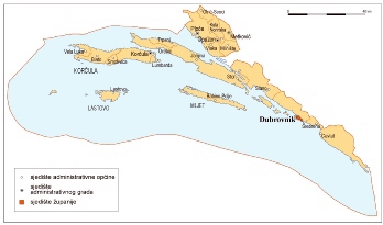
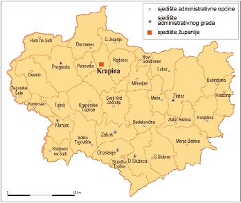
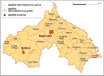
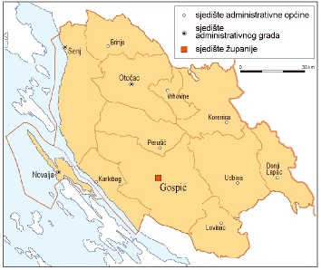
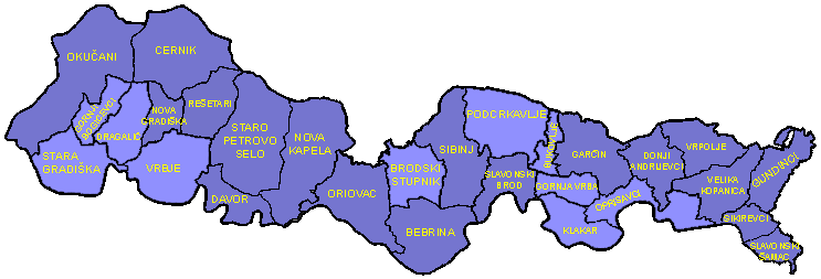
Also, because Croatian counties contain so many municipalities, I split them in bonuses of twelve municipalities or less, and make a superbonus for the county. I name the parts of counties after the biggest city they contain.
Here you can see what I did with Istria:

The text is only temporary of course.

And there's the issue with Zagreb: keeping it as a single county/municipality/whatever it is will be a very bizarre and unbalanced feature to the map. So I need to divide it, but when I looked for Zagreb subdivisions, I only found the city districts (gradska četvrt). And they're too small. So I wondered, could you translate North Zagreb, South Zagreb, East Zagreb and West Zagreb to Croatian for me? I wouldn't trust this to Google translate ;-). And if you could find any subdivisions for Zagreb that divide it into 3-6 parts that would be great too :-).
Map of Croatian municipalities: 8/20/2013 21:05:49

CROivan
Level 46
Report
Haček is probably czech word. Croatian word is kvačica

I split them in bonuses of twelve municipalities or less, and make a superbonus for the county.

Just what I thought of!

Brijuni belongs to Fažana municipality.

I found this for Zagreb:

You can union 'Gornja Dubrava' and 'Donja Dubrava' into 'Dubrava', 'Novi Zagreb - Istok' and 'Novi Zagreb - Zapad' into 'Novi Zagreb, 'Trešnjevka - Sjever' and 'Trešnjevka - Jug' into 'Trešnjevka' and maybe 'Gornji Grad - Medveščak', 'Donji Grad' and 'Trnje' into 'Town Center'. If you don't like this idea, then here are translations:
East Zagreb = Istočni Zagreb
West Zagreb = Zapadni Zagreb
North Zagreb = Sjeverni Zagreb
South Zagreb = Južni Zagreb
Map of Croatian municipalities: 8/20/2013 21:12:06

CROivan
Level 46
Report
Btw on number 17 (Zadar County), there is island between islands 'Preko' and 'Sali' and on that island there writes 'Zadar'. You can rename that island into 'Iž'.
Map of Croatian municipalities: 8/21/2013 16:45:57


Moros 
Level 50
Report
For Osijek-Baranya I'm missing a name. It's the municipality below Osijek and east of Ernestinovo.
Map of Croatian municipalities: 8/21/2013 17:39:45


Moros 
Level 50
Report
(sorry for the double post) And there's also a name missing in the same county between Vuka, Semeljci, Viskovci, Gorjani and Punitovci.
And I've finished Dubrovnik-Neretva using a map I made myself by copy-pasting Google Earth images. Result is a very high-detail map of all the municipalities and the borders, but I'm glad I've already got maps for the other counties ;-)
Also, I would like 'Town Center' in Croatian as well, as I want as little English as possible on this map ;-)
Map of Croatian municipalities: 8/22/2013 13:09:46

CROivan
Level 46
Report


1. That municipality below Osijek and east of Ernestinovo actually belongs to Ernestinovo.
2. Municipality between Vuka, Semeljci, Viskovci, Gorjani and Punitovci belongs to city of Đakovo (little southern from those 5 municipalities).
3. Town Center = Središte grada

Post a picture of map, so I can see your progress :)
Map of Croatian municipalities: 8/22/2013 13:11:06

CROivan
Level 46
Report
Btw do you want county names on English or Croatian?
Map of Croatian municipalities: 8/22/2013 15:18:36


Moros 
Level 50
Report

I think the county names would be the only exception, since they're a bit more known, and they sound Croatian already.
Map of Croatian municipalities: 8/22/2013 15:41:16

CROivan
Level 46
Report
Looks cool :D

If you need help with naming, please ask me :)
Map of Croatian municipalities: 8/22/2013 15:44:03


Timinator • apex 
Level 67
Report
i'm a bit worried about playability of this map because of the shape of the country
Map of Croatian municipalities: 8/22/2013 17:38:05

CROivan
Level 46
Report
True, but this map would be good for roleplaying games.
Posts 21 - 40 of 75   <<Prev   1  2  3  4  Next >>